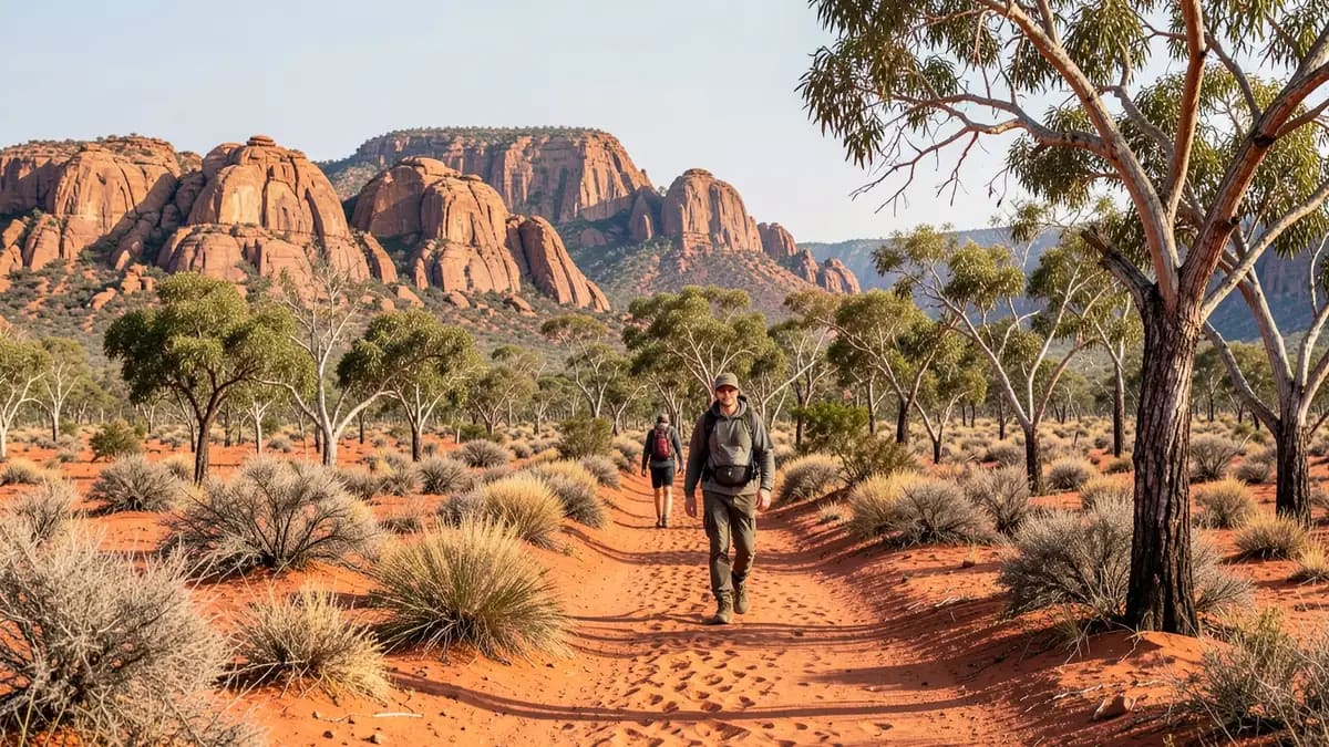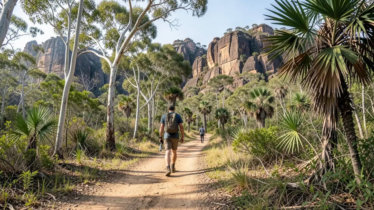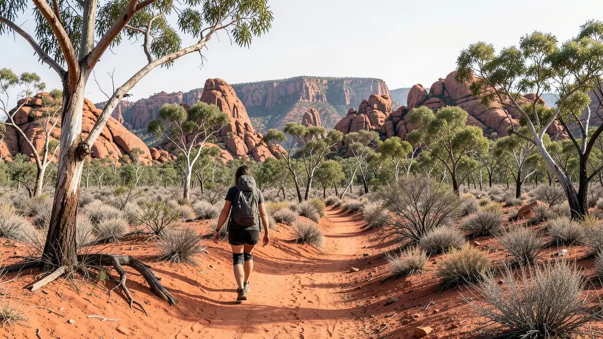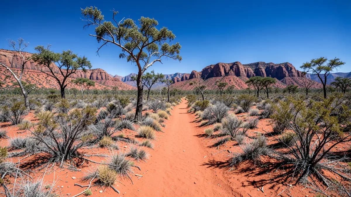
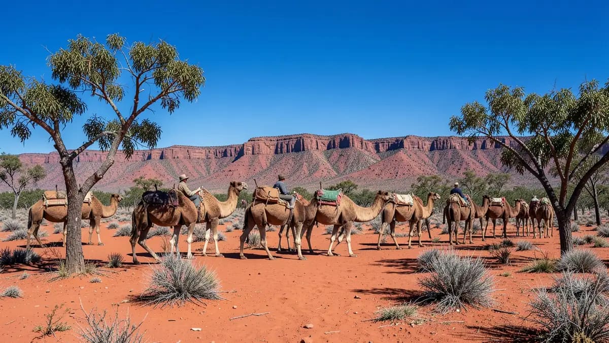
AI generated image
HikingRed CentreFree (registration required)
Larapinta Trail
Be the first to review·1497km · 16h (fly to Alice Springs)
🚗 16h (fly to Alice Springs)📍 1497km💰 Free (registration required)⚠️ Location not verified yet📋 Permit Required
Been to Larapinta Trail?
Add a photo or a quick review to help fellow travellers.
Best Time
May–Aug
Entry Fee
Free (registration required)
Drive Time
16h (fly to Alice Springs)
Access
Permit Needed
- Carry all water between tanks
- Register with NT Parks
- Extreme heat risk outside Apr–Sep
- Remote — satellite communicator recommended
- Some sections very exposed
223km point-to-point trail along the spine of the West MacDonnell Ranges from Alice Springs to Mt Sonder. One of the world's great long-distance walks. Can be done in sections or as a full 12-16 day thru-hike.
Plan your visit
In a national park, you’ll usually need an NT Parks Pass, and campsites & some walks must be booked in advance.
Explorer Verdict
VerifiedFree entryPermit required
Best for
Experienced walkers, sunrise/sunset hikes
Skip if
Heat-sensitive or short on water capacity
Time needed
2-6 hours
Best season
May–Aug
NT Explorer verified
Last updated · 15 days agoWhere does this information come from?
Each location is scored from existing data: visitor ratings & review volume (social proof), official verification, amenities, safety warnings, access friction (permits/4WD), and how fresh the info is.
We show a score once a place has at least 5 visitor reviews. Until then the facts on this page come from official sources and site data — no score is invented.
Best Time to Visit
May–Aug
Jan
Feb
Mar
Apr
May
Jun
Jul
Aug
Sep
Oct
Nov
Dec
Getting There
Distance from Darwin1497km
Drive Time16h (fly to Alice Springs)
4WD RequiredNo
Permit RequiredYes
Facilities
Water tanks at camps (seasonal)Shelters at some camps
Safety Warnings
• Carry all water between tanks
• Register with NT Parks
• Extreme heat risk outside Apr–Sep
• Remote — satellite communicator recommended
• Some sections very exposed
Distance
1497km from Darwin
Drive Time
16h (fly to Alice Springs)
Best Season
May–Aug
Rating
No reviews yet
Safety Warnings
• Carry all water between tanks
• Register with NT Parks
• Extreme heat risk outside Apr–Sep
• Remote — satellite communicator recommended
• Some sections very exposed
Distance
1497km from Darwin
Drive Time
16h (fly to Alice Springs)
Best Season
May–Aug
Rating
No reviews yet
Location not verified yet. We haven't been able to confirm this spot against an independent map yet, so treat the pin as approximate and check locally before relying on it.
📍 Open in Google MapsNearby Locations
Hanging Knoll
Hiking
4.1km
Caltex
Fuel Stations
4.8km

Yeperenye Shopping Centre
Shopping
5.1km
Alice Springs Camel Farm
Wildlife & Tours
5.3km
Sun & light times
Larapinta Trail · ACST
Sunrise
05:05
Sunset
18:35
Day length13h 29m
Golden Hour AM
05:05 – 05:38
Golden Hour PM
18:02 – 18:35
Blue Hour AM
04:40 – 05:05
Blue Hour PM
18:35 – 19:00
Calculated with NOAA solar algorithm. Times are sun centre at the horizon (refraction-corrected).
Reviews
No reviews yet
Be the first to share your experience.
Loading reviews…